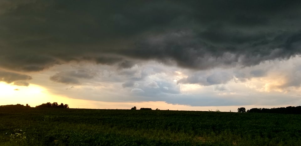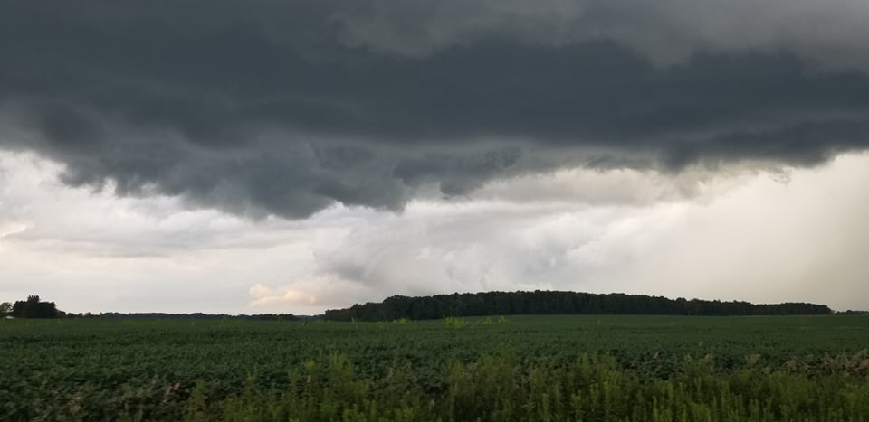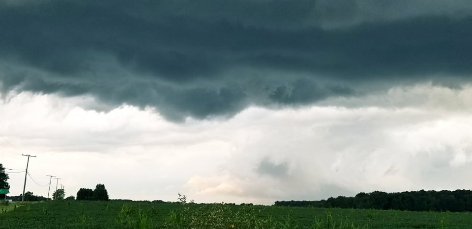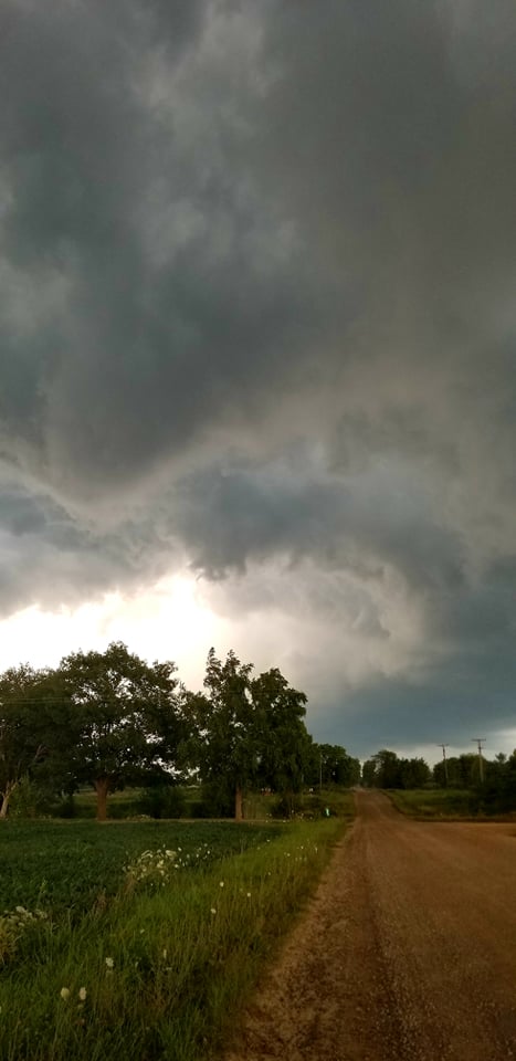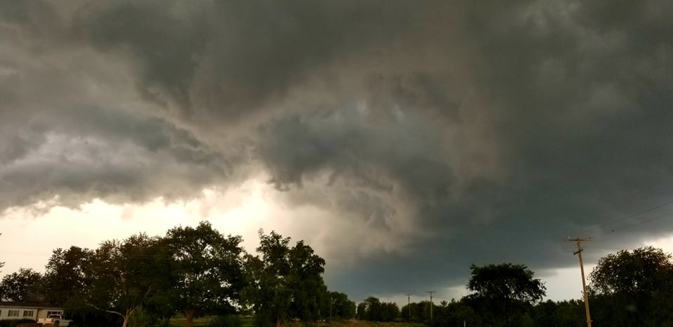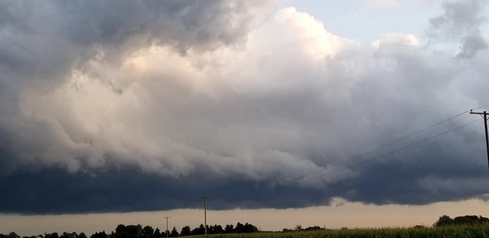


Sanilac County was under a tornado warning Tuesday evening, after storms quickly developed in the Sandusky area and rolled through the eastern portion of the County.
When forming, residents in the Sandusky area reported the storm quickly produced heavy winds and rain as is raced southeast.
Shortly after 7:30 p.m., the National Weather Service issued the warning, based on radar indicated rotation over Sandusky.
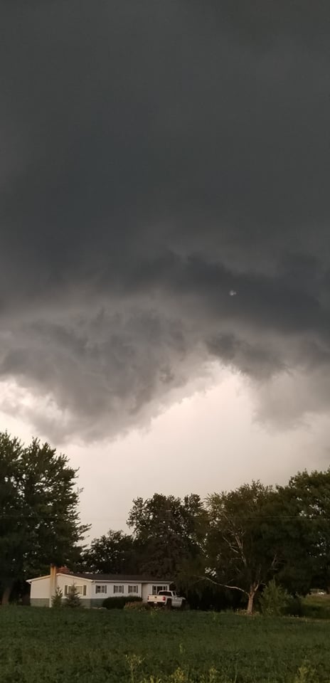
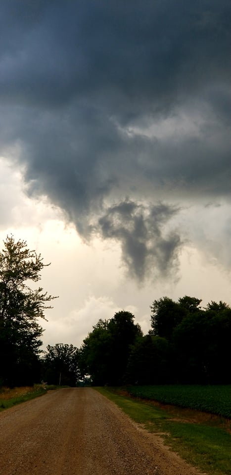
The initial warning had rural areas including Cash and Buel listed as in it the storm’s path, headed for just west of Croswell. Storm clouds with obvious rotation were spotted east of Peck, heading for Roseburg, northeast of Yale around 8 p.m.
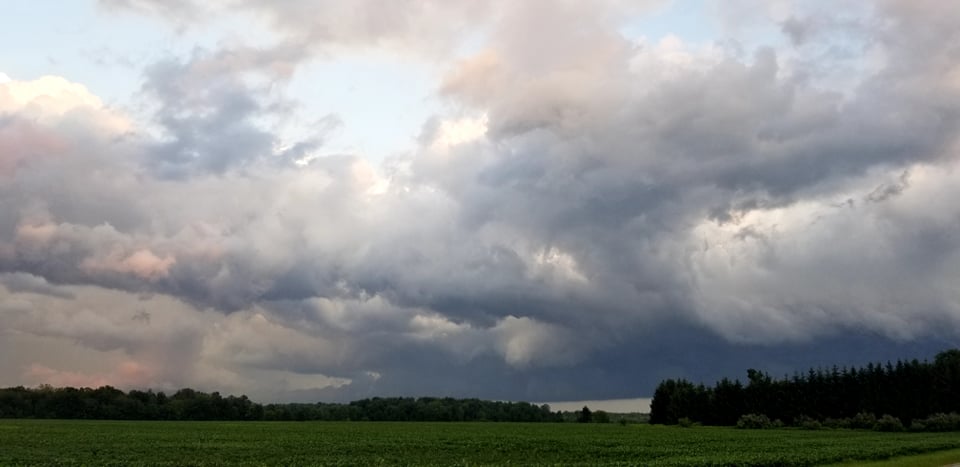
The large cloud mass, and rotating clouds, held together long enough to push in to St. Clair County, prompting another tornado warning to be issued for that county.
No injuries or damage were reported as of 9 p.m. when all warnings were lifted.
Storm photos are posted on Sanilac Broadcasting’s Facebook page and on their website at sanilacbroadcasting.com.